Torres Strait Photography
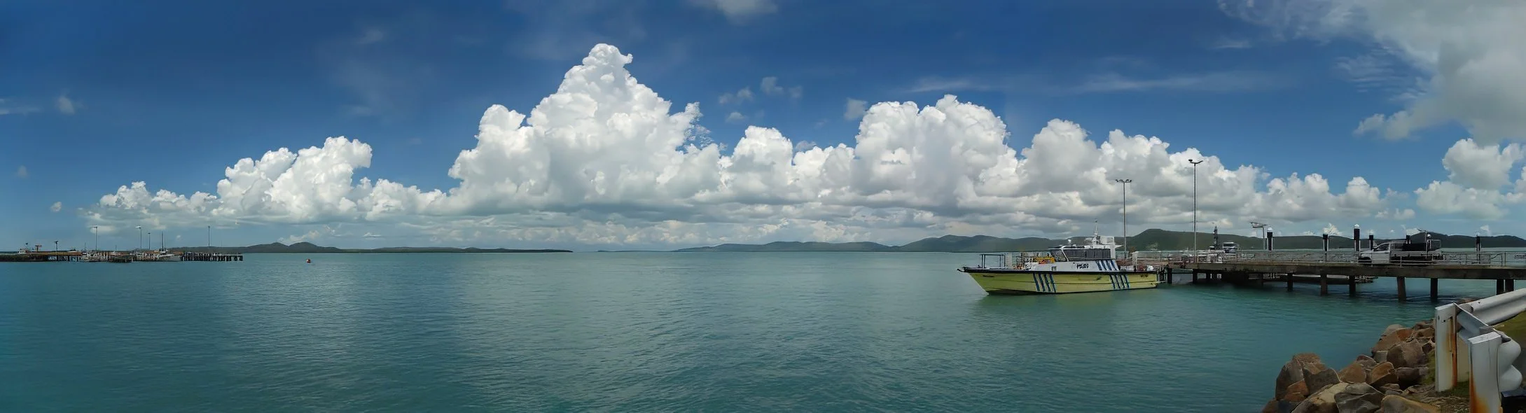
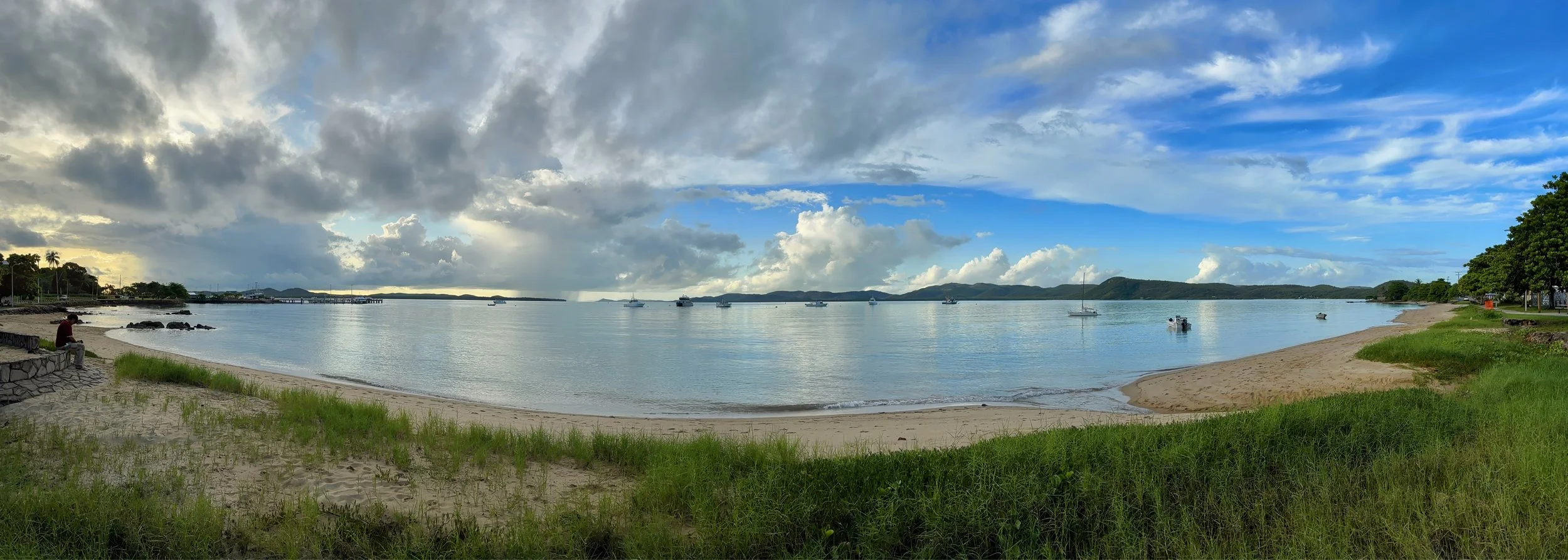
The Torres Strait Islands are distributed across an area of some 48 000 km². The distance across the Strait from Cape York to Papua New Guinea is around 150 km at the narrowest point; the islands lie scattered in between, extending some 200 to 300 km from farthest east to farthest west.
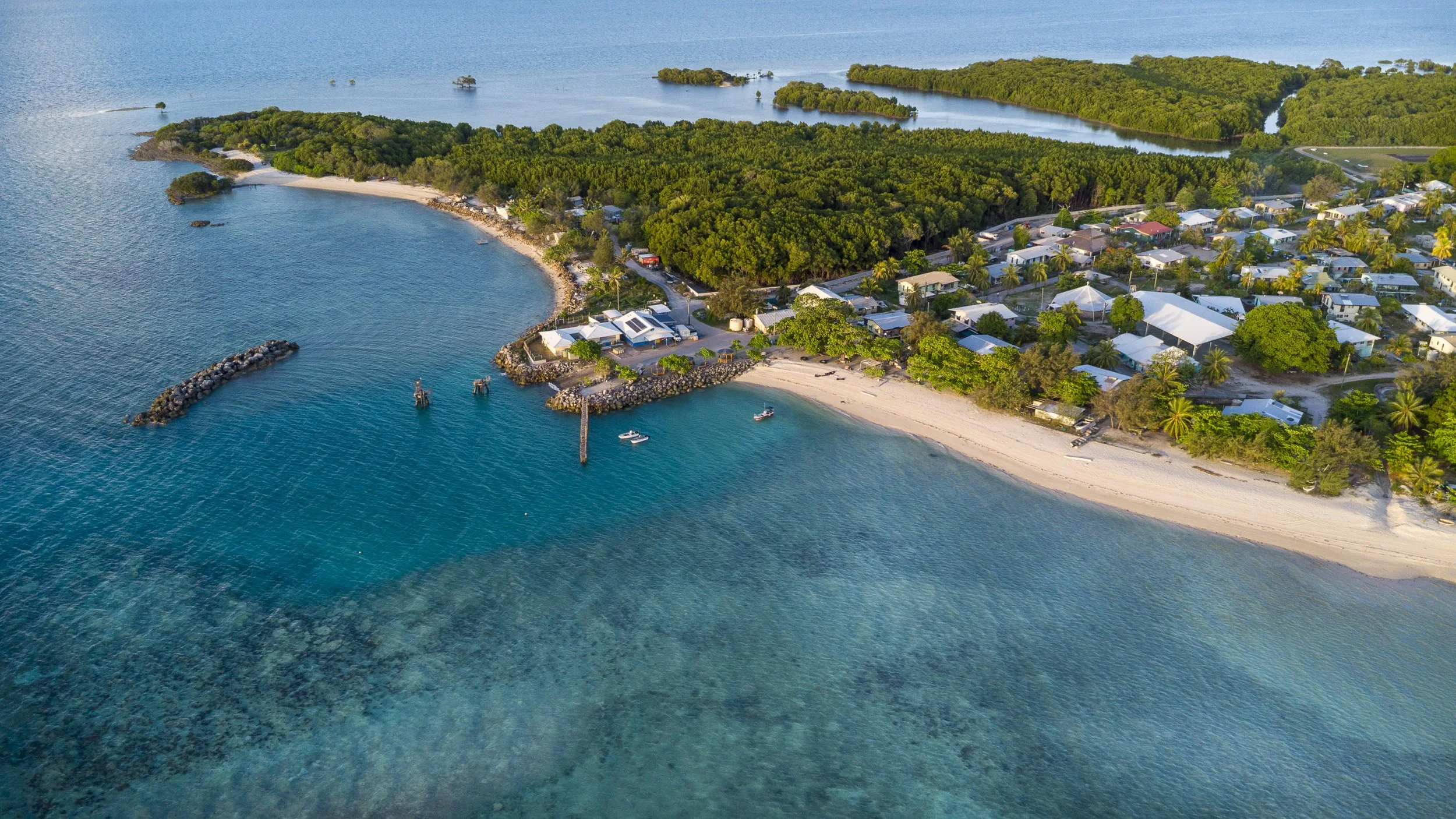
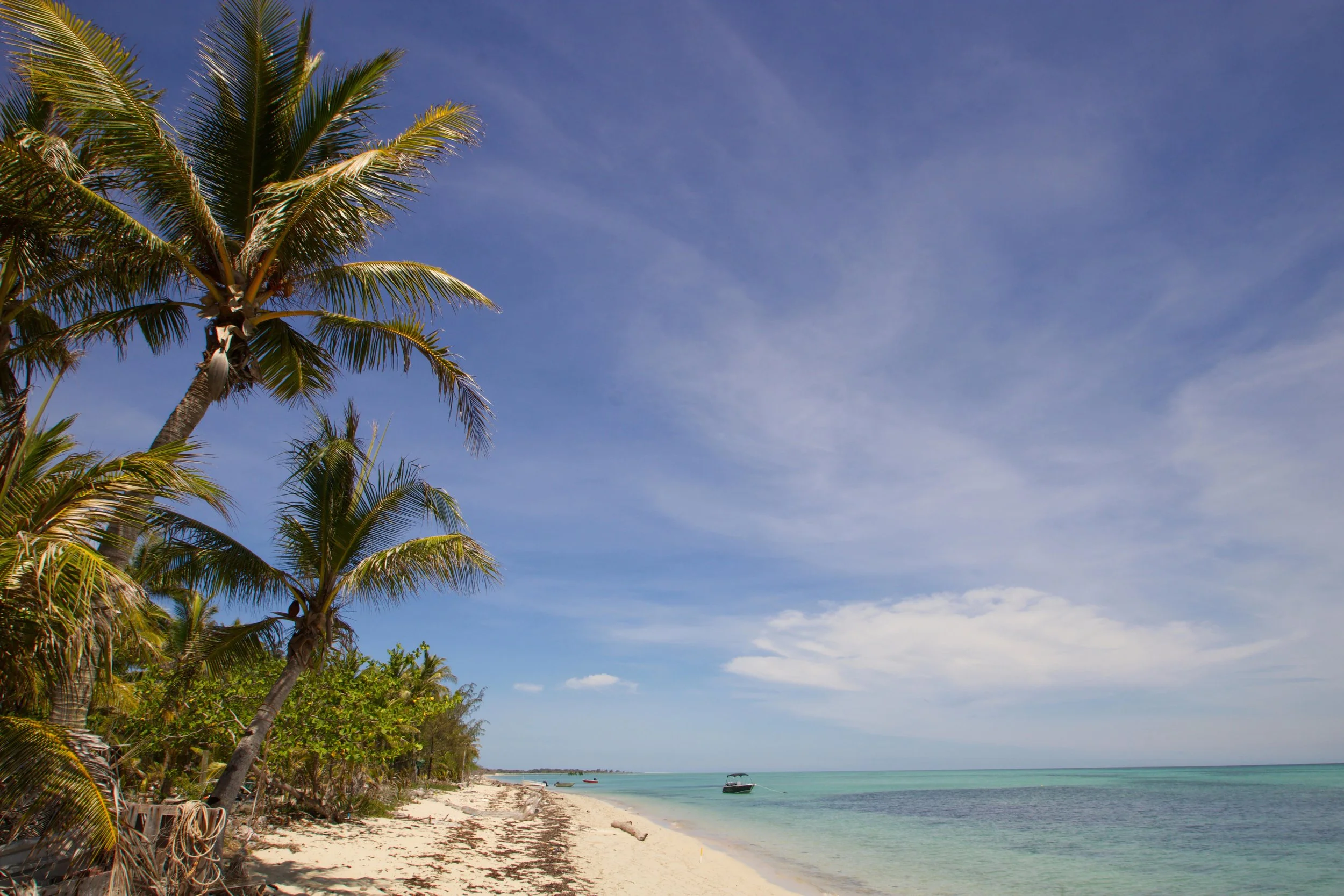
The Torres Strait was formerly a land bridge which connected the present-day Australian continent with Papua New Guinea. This land bridge was submerged by rising sea levels forming the Strait which now connects the Arafura and Coral seas. Many of the western Torres Strait Islands are actually the remaining peaks of this land bridge.